KABLOONAS

KABLOONAS
Burial of John Franklin. Author: me

KABLOONAS

Kabloonas is the way in which the Inuit who live in the north part of Canada call those who haven´t their same ascendency.

The first time i read this word was in the book "Fatal Passage" by Ken McGoogan, when, as the result of the conversations between John Rae and some inuit, and trying to find any evidence of the ill-fated Sir John Franklin Expedition, some of then mentioned that they watched how some kabloonas walked to die in the proximities of the river Great Fish.

I wish to publish this blog to order and share all those anecdotes that I´ve been finding in the arctic literature about arctic expeditions. My interest began more than 15 years ago reading a little book of my brother about north and south pole expeditions. I began reading almost all the bibliography about Antarctic expeditions and the superknown expeditions of Scott, Amundsen, Shackleton, etc. After I was captured by the Nansen, Nobile and Engineer Andree. But the most disturbing thing in that little book, full of pictures, was the two pages dedicated to the last Franklin expedition of the S.XIX, on that moment I thought that given the time on which this and others expeditions happened, few or any additional information could be obtained about it. I couldn´t imagine that after those two pages It would be a huge iceberg full of stories, unresolved misteries, anecdotes, etc. I believe that this iceberg, on the contrary than others, would continue growing instead melting.


martes, 14 de agosto de 2018

MUFF´s ODISSEY AND THE ARCTIC NEWSPAPERS


It was common during polar expeditions of the nineteenth century to start writting newspapers by both, officers and sometimes also by men, in order to fight the boredom of the three long months which lasted the winters at those latitudes. William Edward Parry was apparently the first on doing so during his expedition of 1819-20, maybe because he was the first navy ship of a relatively "modern age" on wintering in the Arctic.

They published weekly The North Georgia Gazette and Winter Cronicle of which Edward Sabine acted as editor. Such was the success of those initiatives that the habit was soon closely followed by his successors and some of those outburst of ideas and imagination ended eventually published formarly under the format of books. In words of Parry:

I can safely say, that the weekly contributions had the happy effect of employing the leisure hours of those who furnished them, and of diverting the mind from the gloomy prospect which would sometimes obtrude itself on the stoutest heart.


One only needs to read some of those articles to realise that we are not in front of the result of naive or boring texts, obligatorily exercises ordered by the commanders, but before of elaborated and witty ideas developed into hilarious pieces of news.

In 1850 below decks of the ship Assistance, belonging Horatio Austin´s squadron in search for Franklin, it was published "Aurora Borealis", every fortnight, this newspaper provoked the delight of those who read it. They even counted with a print press which initial purpose was to print message for the balloons addressed to meet the Franklin men, it is not necessarily to mention that the press ended being used to print the newspaper, songs and so on. So much was it used that the men ended printing in leather and even in blankets.

To understand better and endorse what was the result of this spontaneous camaraderie, I have copied here what the Preface of the publication of Aurora Borealis wrote about the authors of the newspaper:

"The popular opinion seems to be, that the literary attainments of British sailors seldom exceed the acquisition of some boisterous song, and that only the very erudite amongst them can succeed in scrawling a letter to their friends at home.


In the " Aurora Borealis," however, we find articles written by veteran tars, whose home since boyhood has been upon the sea, that would not disgrace the pages of some our magazines. These men with frames of iron, with a courage and a stem
endurance that nothing can subdue, show themselves possessed of a delicacy of imagination and a power of perception that one has great difficulty in reconciling with the honest roughness of their appearance. Some years ago an officer, high in command, gave it as his opinion, that men entirely uneducated
made the host soldiers and sailors. Here, however, we find, that the men from before the mast, who contributed to the " Aurora Borealis," are amongst the most exemplary in Her Majesty's service."

Wise words, not written by Erasmus Ommaney, commander of the Assistance, Sherard Osborn or John Ross (who wintered close by and apparently participated in the project) are refered to in third person, but, judging from the depth of them, were maybe written by the very same and legendary McClintock. In the other ships of the Squadron, Resolute and Pioner a similar initiative was carried out under the maybe more known name of "The illustrated Arctic news". In the subsequent wave send by the Admiralty in search of Franklin in 1852, the Belcher squadron, similar newspapers were also edited and published.

Here I post a couple of those pieces of news I have rescued from the book "Arctic Miscellanies: A Souvenir of the Late Polar Search and which surely will make you smile if not laugh. I considered particularly interesting the Muff´s adventure which inspired the title of this post:


THE MAKING OF A MAP: THE RELICS, CAIRNS, BONES AND ORAL TESTIMONIES OF THE FRANKLIN EXPEDITION

It´was some years ago, surely in 2012 after discovering Thomas Gould´s map had been digitalized in the Internet, when I decided to put some order to all the information I was acquiring while reading dozens of books related with the Franklin expedition. 

The idea of making a map for my personal use had then much more sense after I read Unravelling the Franklin Mistery and Strangers among us both of Dave Woodman. Two superb books which tried to understand and guess what happened to the crews of HMS Erebus and Terror once they "deserted" the ships. The books compile, describe and try to interpret a good number of objects found in the desolated ground of King William island and also deals with the wide variety of Inuit testimonies  told to the Franklin searchers of all times and which have demonstrated in time they were very accurate.

I have to recognise that after reading those two master pieces, the original narratives of Charles Francis Hall, Schwatcka, Russell´s Potter book "Finding Franklin" and a good number of articles and many other books, I was still lost in the apparently simple geography of King William Island and surroundings and have sometimes problems to understand that a particular cairn was different to other, and where were located all those places that Woodman was speaking about. I had to do something not to get lost together with the Franklin men.

Well, I am not a researcher nor a historian, just an amateur enthusiast of Polar exploration, but I consider myself good at gathering things, and that´s exactly what I did here.  

Logically, my starting point was the map of King William island made by Commander Thomas Gould.  As I mentioned above, The Library and archives of Canada started a project on which they digitalized Admiralty charts of Canadian waters. Among the digitalized maps was Gould´s map of King William Island. 


That map published in 1927, showed everything which had been found in the area till the moment by the searching expeditions of McClintock, Charles Francis Hall, Schwatcka, Rasmussen, Burwash etc. Gould painted in blue the Inuit testimonies and in red the actual relics found. According to Russell, Gould´s map apparently was made at the request of Burwash.


There were other maps like the one which shows Klutschak findings made in 1880, but any had ever put together all the information available at the moment. Burwash had a very good idea. Soon I realised we, Franklinites, needed a more practical tool than a single and static map, no matter how useful and amazing this can be, as Gould map is. A map which could allow us to identify places, edit wrong coordinates, add descriptions and links and add new findings, etc, etc. Don´t forget that searching parties are still visiting King William island and every year it passes, more sophisticated and accurate are the devices used in the search and research. It is foreseable that new items will appear, this time precisely located by GPSs, which modern researchers are currently carrying with them and not roughly and approximately as the former searchers did with the means of their time.

I needed as water in the desert a tool which could be updated instantly and which could place with  precission of seconds of latitude and longitude every item found in that barren ground. 

The more accurate tha map was evolving the more I realised how useful it could be for others apart of me. So, the past year, when I learnt how to share Google maps in my blog, (before I just shared a .kml file with those who had shown some interest or in facebook groups) I decided to make it public for everybody. Since then, many people have contributed to make it more precise and accurate, however, I am sure there are still mistakes which must be mended. Unfortunately, many of the places are not precisely located, it will take time to correct all those wrong points one by one, and to remove repeated cairns, etc, etc. Olivier Benoit and me know well the mess of Cairns I had in Cape Felix.

The map has evolved since its beginning of a single mass of yellow pins, which are the ones used by default by Google Earth, to a more friendly look on which I have used the wider range of pins available in Google maps. The map, of course includes a layer with the names of the geographical places, without which I at least would be lost, and a layer of Inuit Testimonies, like those blue points marked by Gould, which is still at work.

I made the map after reading many Franklin related books. I think  it is time to reread many of  those jewells, specially Woodman´s ones and to fill the gaps which still does exist.  There must be dozens of relics still to place and cairns to locate, not necessarily built by the Franklin expedition but by the searchers and by the Inuit. I hope that with time the map will be properly finished and that it could be an useful tool for researches and not a mere curiosity made by an enthusiast. To this day the map has been visited 2.250 visits, I am more than proud of that number, that is enough reward for me.

I couldn´t end this post without giving thanks specially to Randall  Oxczevski, who is scanning with zeal from his armchair every single dot and pixel of King William island and vecinity through sattellite images. His contribution to make this map more perfect is unvaluable. I would like also to thank to Russell Potter, whose posts of Visions of the North put essential context and color to many of the pins you will find in the map. Also thanks to Russ Taichman, Peter Carney, Olivier Hubert-Benoit who have made valuable contributions and has made me add some relics and graves which I had missed or didn´t know. 

I hope you will enjoy it my amigas y amigos !


miércoles, 1 de agosto de 2018

SAILING SLEDGES AND KITES - WE WERE THEREFORE "SHIPSHAPE"!!

It is not completely absurd to think that as sailors were the first on becoming explorers these would make the most of the use of their particular knowledges in every task they would have to develop.

So it not surprising they started to use sails to impulse their heavy loaden sledges almost from the beginning of polar exploration when long journeys, sometimes of thousands of miles, across snowy and icy landscapes started to be performed.

Maybe one of the most known examples of this practice may be Nansen´s expedition to cross Greenland. During that voyage pictures were taken which rapidly become worldwide known after their arrival to the civilized world.

Nansen´s crossing of Greenland
They showed the men walking across rugged ground dragging their sledges, but also discrete squared sails which were suppossed to help them. But of course, it wasn´t Nansen the first of using this advantageous technique. 

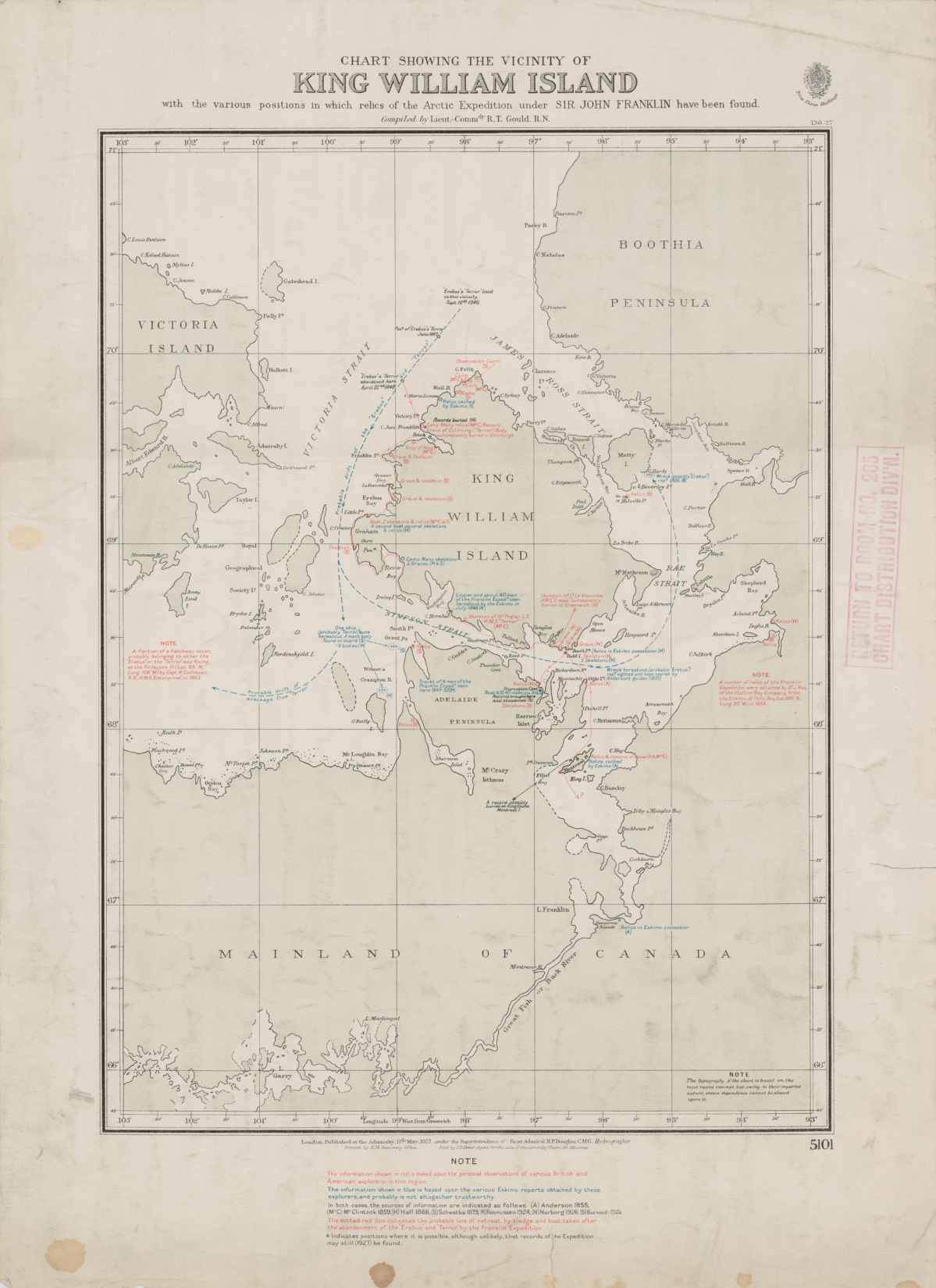
In march of 1853 a huge party, commanded by G.N. Richards and Sherard Osborn, and composed by six sledges and about sixty men of the Edward Belcher´s rescue squadron composed of five ships departed from their winter quarters in their attempt to built cairns and leave depots of supplies and boats for Franklin and his men. In doing so, they used improvised sails for their sledges, in the same way that Nansen did more than forty years after. The sledges, which used to hoist the red ensign on them, were beautifully depicted in some of the drawings of that expedition. The sails  were in fact actually the bottom of the tents of 3,5 x 2,7 m approximately. 

From: The last of the Arctic Voyages

Belcher  described his sledge as follows:

"Our Craft was rigged in the most approved Sooloo pirate style, sheer masts stepped into a specially fitted batton, forming an isosceles triangle, with the means of support by shrouds from its extremity, greater by two feet than the width of the sledge, which have also been increased for carrying the ice.boat and out tent bottom was now formed into a well made sail. We were therefore "Shipshape".

The preparations of that early travel should compose an impressive scene. The sight of eight sledges and more than sixty men preparing these sledges at the side of the ships, working excitedly in the midst of a strong cold.
Departure of sledges: From The last of Arctic Voyages

As Edward Belcher described the scene as follows after he accompanied them during the first miles of the trip. The sight had to be, to say the least, a curious one:

The system worked reasonably well, the men could run besides the sledge, sometimes it went so well that the increasing speed provoked small accidents as the one Belcher starred. With his light and  sarcastically usual tone describes in this way:

We left with a gentle breeze, under all sail, going at a very pleasant trot beside the  sledge, until we came upon this rough sea. The velocity of the sledge, caused by the sudden increase of wind under Cape Sicic, tripped all hands up and dragged them astern, face downwards. I was on the sledge, and dropped myself in time to avoid the consequences of the capsize which one of these waves caused. We escaped with one damaged spar ; replaced it, and moved forward more cautiously. This time our engine ran away ; again all hands let go. I was perched, for ballast, on the weather-quarter, across which a long gun-case, three feet six inches, was lashed ;but, as if my neck was destined to be continually in jeopardy, I experienced a gentle summerset, driven at a radius of four feet, with sufficient impetus to derange it; however, I escaped with slight damage, and the sledge upsetting on a lee shore, enabled our crew to regain it.  We now reduced our sail to a latteen until we cleared this frozen ocean, and eventually pitched our tent for the night on a fine gravel beach. 


But even before Belcher´s expedition began to use sails in their sledges, years before in 1851, during the second rescue offensive to save Franklin, McClintock, which was part of the team of Horatio Austin, used the kites supplied by Benjamin Smith as tractile power to be added to the sails already mentioned. The following pictures were painted by Admiral William Smith and are present in the cover of the fabulous book "The Fate of Franklin" by Roderick Owen.


See how the artist properly placed the flag waving in the proper direction.

Sherard Osborn, in Stray leaves described these new devices called kites as follows, though judging from his words, the experience seemed not to be too pleasant:

Kites, which the kind Mr. Benjamin Smith had supplied me with, both as a tractile power to assist us in dragging sledges, as well as a means of signalizing between parties, 
afforded much interest, and the success of our experiments in applying them to dragging weights was so great, that all those I was able to supply gladly provided themselves with so useful an auxiliary to foot-travellers. Experience, however, taught us how impossible it was to command a fair wind, without which they were useless weight, and in severe weather there was some danger, when handling or coiling up the lines, of having to expose the hands and being frost bitten. 


But if we dig a bit further in the history of exploration we will find that Thomas Simpson during his succesful expedition of 1836-39 together with Warren Dease, also used sails for the sledges. I couldn´t find a explicit reference to this in the account of his journey but this picture posted below, apparently corresponds to it. Though they were supposed to be formed by twelve men and three sledges  and not sixteen and two sledges as the picture shows.


EDITED (5/08/2018):
Sails were not only used for sledges. When Parry launched his land trip from the Hecla and the Griper to explore the north part of Melville Island in june of 1820, he used a cart fitted with wheels to carry their baggages and the tents. Why he used a cart instead of a sledge in a ground which at that time of the year was almost completely covered by snow, I guess must be explained by his lack of experience still to come.At the end of the day that was the first winter the Royal Navy men spent in the Arctic. The men also carried backpacks of 12 or 14 kg each, a quite unusual practice not only in the high north, but in other more temperated northern countries. Parry described what his men did as follows:

The breeze freshened up to a gale from the S.S.E. as we proceeded, and the men, as if determined not to forget that they were sailors, set a large blanket upon the cart as a sail, which, upon the present level ground, was found to be of material assistance.  
.../... The men had hoisted one sail upon the cart at first setting off; but the wind being now, as they expressed it, " on the larboard quarter ;" a second blanket was rigged as a main-sail, to their great amusement as well as relief. 
But as it is logical to suppose, the use of this type of propulsion wasn´t exclusive of the Canadian arctic, I could find some engravings which shows a slightly different way of doing it but essentialy the same concept in Siberia and Amsterdam:

Siberian sledges

Sledge sailing in AMsterdam

And if we travel in time this towards our time, we see Klondike miners using sails to push their boats over frozen rivers and lakes:


And finally, when we reach our present time, we must amaze ourselves when we behold how this apparently ancient technique have been wonderfully developed to at an extreme degree. It is a spaniard who have made evolve the concept of using the wind to power a sledge i such way that it looks Sci-fi. His system not only serves the purpose of carrying supplies, clothes, provisions and so on, but also the explorers comfortably seated in the sledge while driving this astonishing device. The tents are placed over it, so some of the expeditionaries can even sleep while others are guiding the sledge. I am talking of Ramon Larramendi, pioneer in the use of this marvel, state of the art of wind sledges! What he calls: El Trineo de viento. has allowed him to reach even  the south pole.


What is awaiting ahead us regarding the use of the wind in sledge traveling? Time will say.